-
 Plan and print routes for over 30 outdoor activities
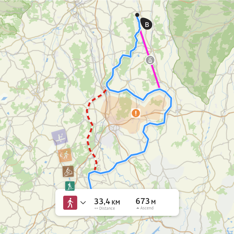
Can't find your perfect route? Plan your own in just a few taps in the route planner — and easily print it all before you go so you've always got a back-up to hand.
-
 Discover the world's best and most reliable travel guide for outdoor and adventure tourism
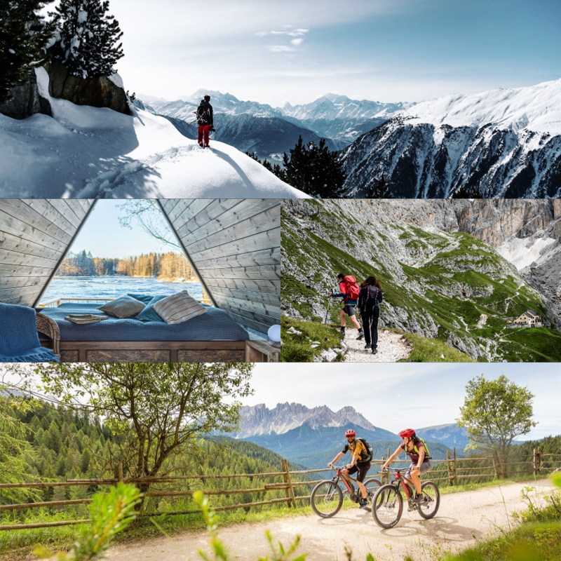
Find the location of your next big adventure with our travel guide, and quickly find the best routes, adventures and activites region by region.
-
Plan using OpenStreetMap
Plan your winter or summer adventures using OpenStreetMap, the world's biggest community-contributed mapping platform, featuring highly detailed cartographic details and up-to-date waytype info.
Learn more -
Take part in challenges
Travel new distances and spend more time outside: Set yourself goals through challenges, be in with the chance of winning exciting prizes, and interact in exciting ways with the Outdooractive community.
Learn more -
See current conditions
Understand ahead of time precisely what you're getting yourself into: See trail closures and all current hazards, and access local webcams to see what the conditions are before you head out.
Learn more
-
 Connect with official organizations and other community members
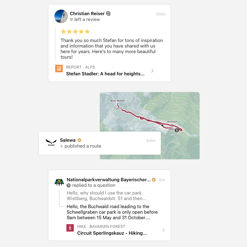
Connect with your favourite organizations by following them on Outdooractive. Keep an eye on the routes and activities they publish, and ask them a question directly when you need some help with your own plans.
-
Enjoy turn-by-turn speech navigation that will always keep you on track
Get routed around every turn and every twist — no matter how small the trail. Just listen up to know where to go, and to explore in confidence without ever taking your eyes off your surroundings.
Learn more
-
Add photos of your experiences, rate location and accommodation options, and comment on others' contributions too
Show the best parts of your adventures by sharing your own photos and rating locations and accommodation — and interact with others' routes through comments and questions.
Learn more -
Learn more about your surroundings with our Audio Guide
Immerse yourself in the surroundings and learn about surrounding points of interest with our Audio Guide — without having to take your eyes off the landscape.
Learn more -
See points of interest at a glance, such as peaks, lakes and places
Whether you're looking for a peak to summit or somewhere to eat, see the points of interest that matter to you at a glance on the map.
-
Download GPX files
Download GPX files of your planned routes at the click of a button: Simply upload the file to your GPS device of choice and explore your way.
Learn more
-
Discover routes for rock climbing
See the best rock climbing routes directly on the map — featuring recommended routes and info from theCrag.
Learn more -
See ski runs and difficulty at a glance
See a map of all ski runs resort by resort, and quickly understand things like difficulty level, current conditions and closures at a glance.
-
See avalanche reports
Stay safe when exploring in winter with up-to-date avalanche reports in all high risk areas. See current warning levels and plan your trip accordingly.
Learn more
